
About 15 minutes
To Historic Main Street in Park City by car; Deer Valley East Village is about 10 minutes. Allow more time on busy days and in winter weather.
Location / Hideout, Utah
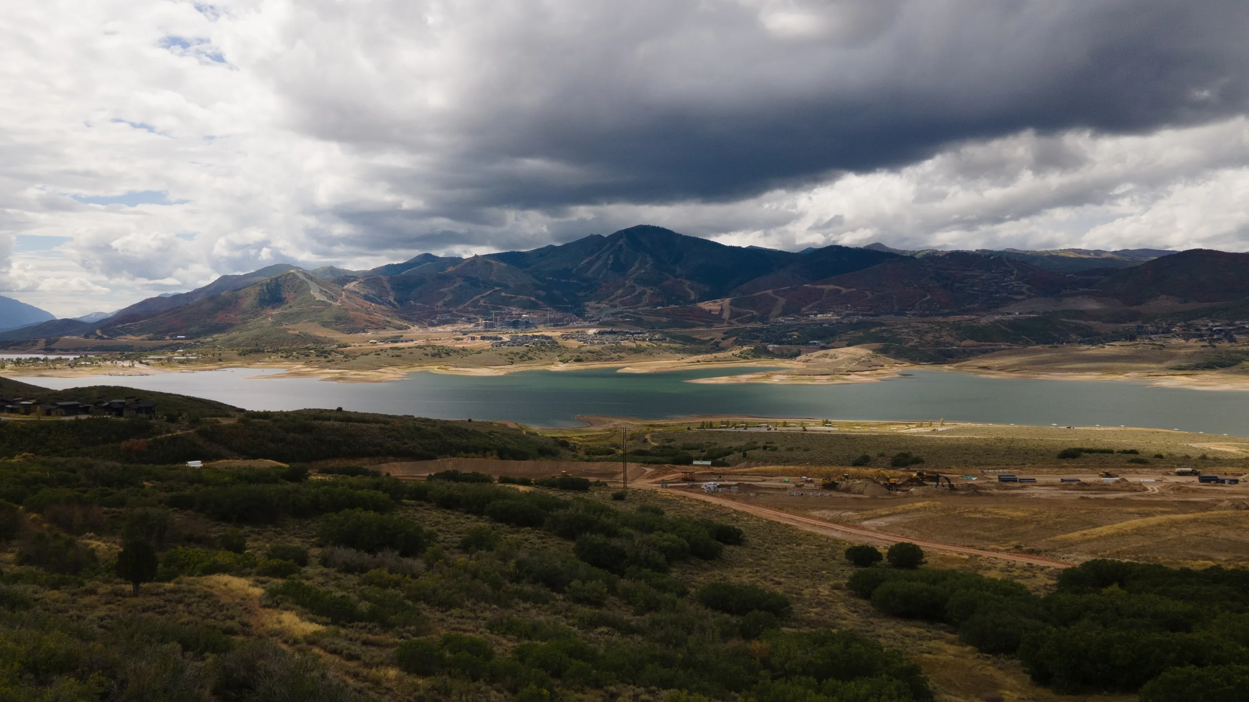
Find Shoreline in Hideout, Utah, directly above Jordanelle State Park. Park City’s Historic Main Street is about a 15-minute drive and Deer Valley East Village about 10 minutes, with mountain trails and lake recreation nearby.
Find your bearings
See the routes to downtown Park City, Deer Valley and Jordanelle State Park. Drive times vary with your destination, route, traffic and winter weather.
To Historic Main Street in Park City by car; Deer Valley East Village is about 10 minutes. Allow more time on busy days and in winter weather.
To Salt Lake City International Airport by car. Allow extra time for traffic and winter conditions.
Fishing, boating and paddle boarding on the reservoir. Ross Creek offers north-shore trails and non-motorized lake access; water levels and seasonal conditions affect access.
Find the Perimeter Trail, north-shore access and places to spend time on the water. Check current lake levels and facility conditions before heading out.
Trails & lake activities (opens in a new tab)Current lake conditions (opens in a new tab)Plan your arrival at the resort. East Village and the Jordanelle Express Gondola are separate access points; check Deer Valley’s current directions and services for your visit.
Resort directions & arrival (opens in a new tab)Guest services (opens in a new tab)Dining, galleries and life along Historic Main Street, with mountain activities beyond town. Explore the visitor guide and the resort’s current seasonal offerings.
Explore Park City (opens in a new tab)Park City Mountain (opens in a new tab)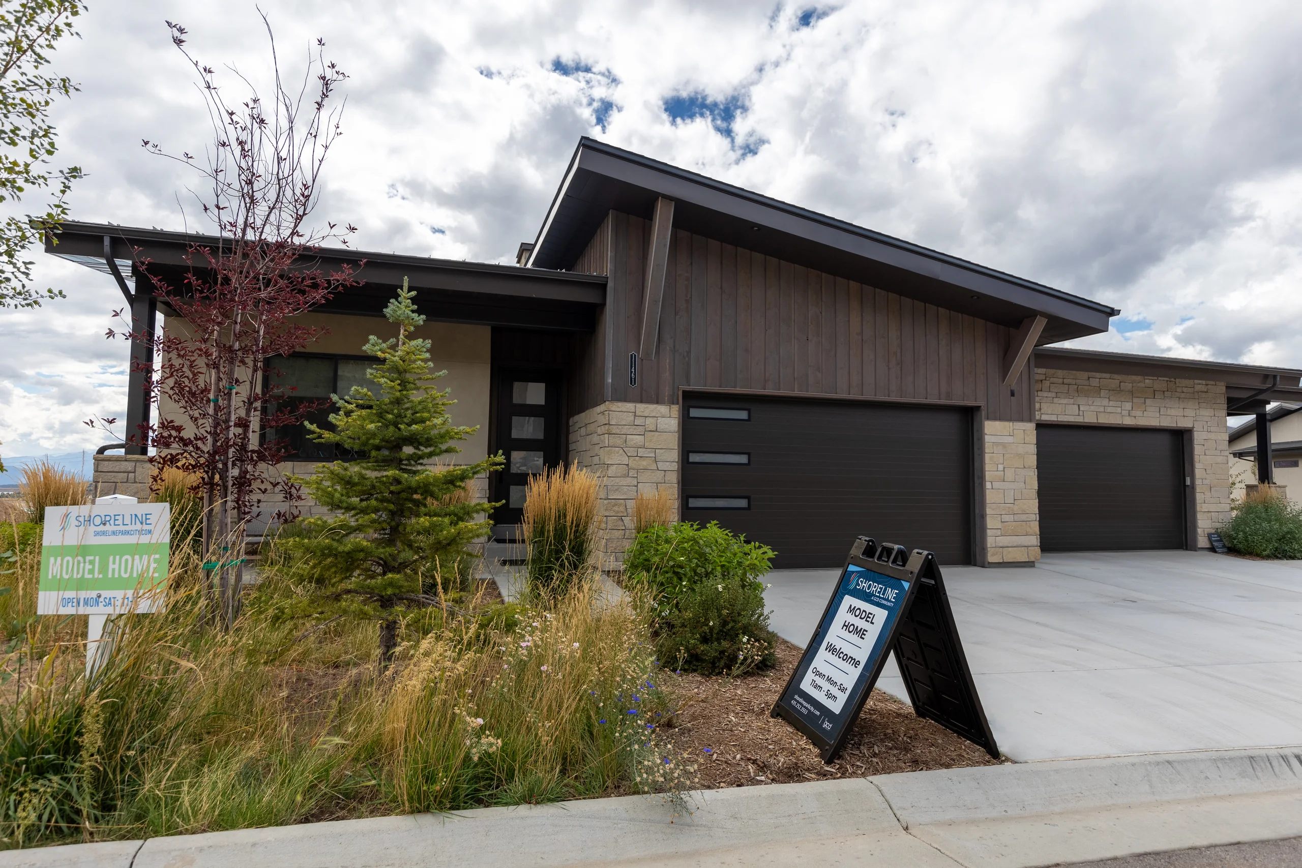
Come find us
Monday–Saturday, 11am–5pm.
Walk-ins welcome.
Visit the Shoreline model home
Open Monday–Saturday, 11am–5pm.
Walk-ins welcome.